
Yayla Harita Korkuteli Harita ve Kadastro Hizmetleri
Yayla Harita, Korkuteli merkezli bir harita ve kadastro ofisi olarak Antalya genelinde ifraz, tevhid, aplikasyon, halihazır harita ve tapu kadastro işlemleri alanlarında profesyonel mühendislik hizmetleri sunmaktadır.


5 yıldızlı müşteri memnuniyeti
★★★★★
Yayla Harita'ya Hoşgeldiniz
Harita ve kadastro alanında güvenilir ve profesyonel hizmet sunuyoruz.


Biz Kimiz?
Mühendislik odaklı yaklaşımımızla harita ve yapı işlemlerinde yanınızdayız.
Hizmetlerimiz
Harita, kadastro ve bina işlemlerinde güvenilir destek.
Harita & Kadastro
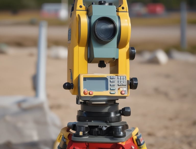
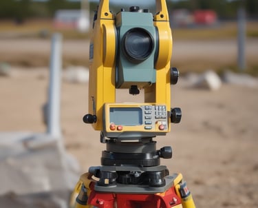
Arazi ölçümleri ve kadastro işlemlerinde titizlikle çalışıyoruz.


Yapı & Bina
Yapı ruhsatı ve bina işlemlerinde hızlı çözümler sunuyoruz.
Profesyonel kadro ile tüm yapı süreçlerinizi kolaylaştırırız.
Profesyonel Destek
İletişim
Sorularınız için bize her zaman ulaşabilirsiniz.
Adres
+90 530 084 94 29
© 2025. All rights reserved.
+90 533 471 96 27
Aşağıpazar Mahallesi, Hastane Caddesi, No: 3/4,
Korkuteli / Antalya